No items found.

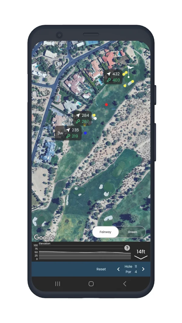
Golf Pad's aerial maps not only help you navigate the course, but they also provide critical information about various hazards, helping you make more informed decisions on your shots. With the Golf Pad Premium version, you now have automatic access to hazard distances directly on the map.
The map will display distances to common course hazards, including:
These hazards are marked by a yellow dot on the course map, making it easy for you to identify them as you navigate the course.
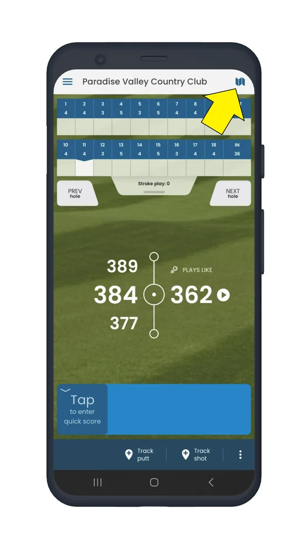
The aerial map feature offers much more than just hazards. To discover how to take full advantage of Golf Pad's other powerful tools, including measuring distances, viewing elevation profiles, and exploring green contours, head over to our comprehensive guide on all: Golf Pad aerial maps features
If you find that your home course doesn't have hazards listed, simply send us a support request. Our team will review the course details and update the hazard information so that you can benefit from these features during your rounds.


Subscribe for early access to promotions, feature announcements & more.